Because it sits inside Seoul, Bukhansan often gets treated as a casual outing. Being easy to reach and being an easy climb are not the same thing. The Baegundae summit and the ridge routes leading to it include steep rock and exposed sections, so choosing that side for a first hike is how people end up turning back partway.
Which trailhead to start from
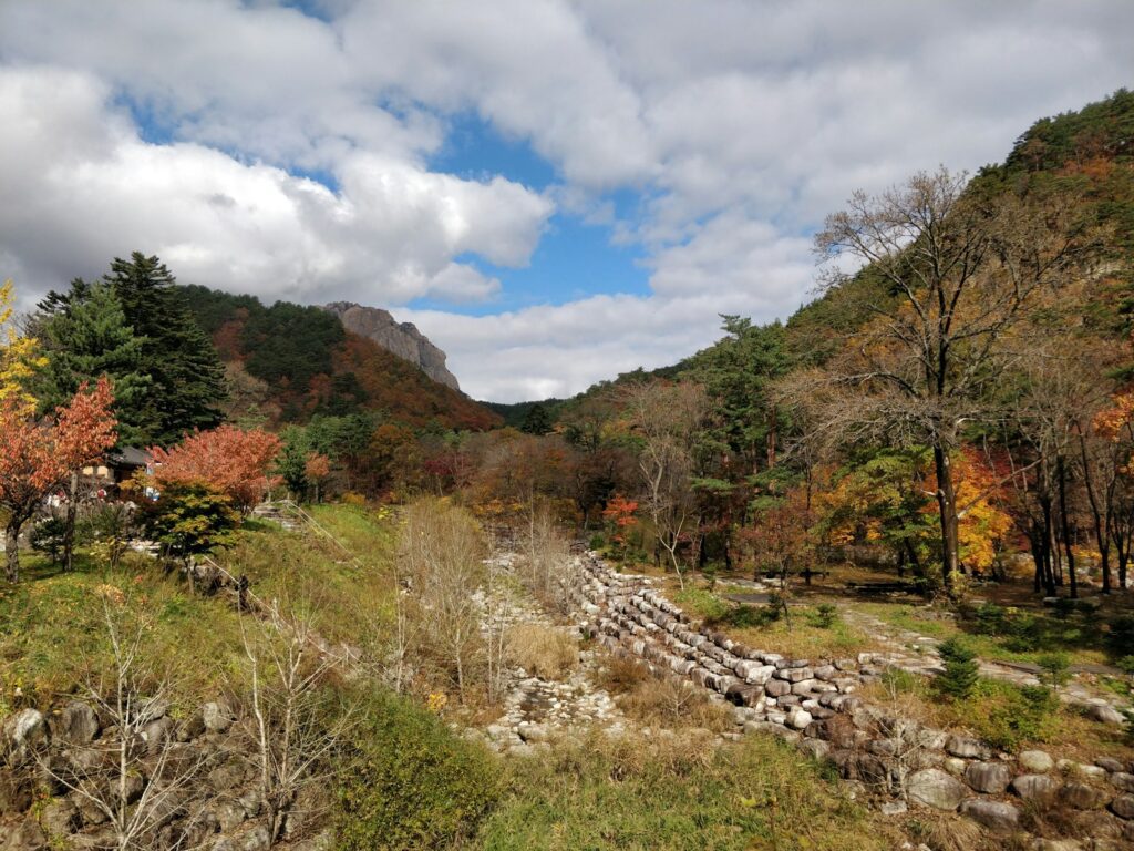
Two options suit beginners. The gentle route from Gupabal Station through Jingwansa Temple, and the path that follows Uidong Valley. Both stay in the lower valleys rather than climbing onto the ridge, which makes them a sensible way to gauge your fitness and whether your gear is adequate before committing to anything harder. The mountain itself is 836.5m and straddles Seoul and Goyang.
Why Baegundae should not be your first target
The routes Bukhansan is known for — Gupabal to Bibong, and Jingwansa to Munsubong — are graded beginner to intermediate. The difficulty is above them. The ridge connecting to Baegundae mixes in rock you climb with your hands and sections with genuine exposure, which means difficulty varies sharply between segments of the same mountain. Check the official difficulty rating for the specific segment you intend to walk, rather than judging the mountain as a whole, and start in the valley if this is your first time.
When to go
The best seasons are spring and autumn. Summer keeps the valley sections cool but rain makes the rock slippery, and winter brings icy stretches. Regardless of elevation, it is colder and windier above the city than at street level, and conditions can deteriorate quickly. Set your route and your turnaround time around the least experienced person in your group, which is the habit that prevents most incidents on accessible mountains.
The descent is part of the course
Clustered near the trailheads are makgeolli bars, pajeon (scallion pancake) restaurants and streets of tofu dishes. Coming down and cooling off there is a recognised part of how hiking works in Korea rather than an afterthought, so leaving time for it makes the day considerably better.
Check before you leave
Seasonal trail closures, permitted entry times and parking information are published by the Korea National Park Service. Closures shift with weather and with wildfire precaution periods, and once the entry cutoff passes you will be stopped at the control point rather than allowed through. Download a map or an offline mapping app in advance, and bring boots that support the ankle along with a windproof jacket in any season.
A single table comparing all five peaks — Seoraksan, Jirisan, Hallasan and Deogyusan alongside Bukhansan — with heights, signature routes and difficulty is in the Korean mountain hiking guide on the WeBring blog.