For a student who has just arrived in Korea, the subway map can look like a tangled spider web. Seoul, Busan, Daegu, Gwangju and Daejeon each run their own lines. Learn a few habits, though, and the subway covers everything from your daily commute to weekend trips. Here is how to read the map and stop getting lost at transfer stations.
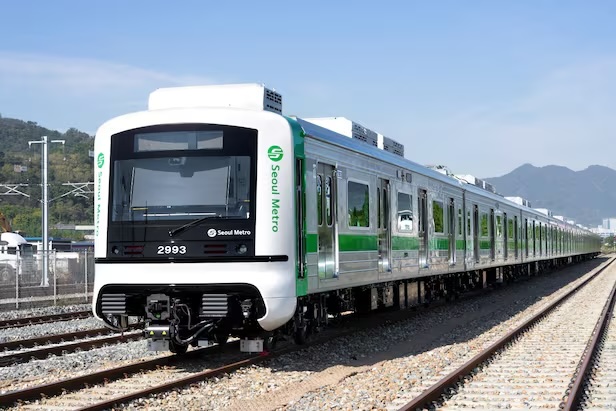
Read the map through an app first
Enter your departure and arrival stations into KakaoMap, Naver Map, the Seoul Metro app or Hachul (a subway navigation app) and you instantly get the best route, travel time and number of transfers. These apps also carry real-time train information, so you can spot delays before you reach the platform. If you want to take in the whole network at a glance, the paper maps inside stations and the wall signage still help. It looks overwhelming at first, but once you memorize the stretch you ride most often, the rest falls into place.
Use major transfer stations as your anchors in Seoul
Seoul runs Lines 1 through 9 as its backbone, with the Shinbundang Line, Gyeongui-Jungang Line and Airport Railroad connecting on top. Anchor your mental map to the big interchanges: Seoul Station (Lines 1 and 4, plus KTX), Yongsan (Gyeongui-Jungang, Shinbundang), Wangsimni (Lines 2 and 5, Bundang), Express Bus Terminal (Lines 3, 7 and 9) and Sindorim (Lines 1 and 2). Line 2 is the loop that circles central Seoul, Line 1 stretches out to Incheon, Suwon and Cheonan, and Line 9 links the western districts to Gangnam while connecting to the Airport Railroad. Rather than memorizing every line at once, start with the ones serving your neighborhood.
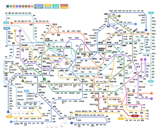
Cities outside Seoul are well covered too
Busan runs Lines 1 through 4 plus the Gimhae Light Rail, connecting Haeundae, Seomyeon and Nampo-dong. Daegu has Lines 1, 2 and 3, and Line 3 is a monorail, so the ride comes with a view. Gwangju and Daejeon each operate a single line, which keeps things simple, though pairing the subway with buses makes getting around much easier there.
How to stop getting lost during transfers
Many Seoul interchanges have long, winding transfer corridors, and walking without checking leaves you circling. The basic rule is to follow the "Transfer to Line ○ →" signs posted throughout the station. Beyond that, subway apps tell you which car to board so you exit right next to the transfer corridor — for example, "get off between cars 3-4 on the northbound Line 2 platform and the Line 3 transfer passage connects directly." Checking that in advance and adjusting where you stand cuts a surprising amount of walking.
Fewest transfers or shortest time?
Route searches often return a fewest-transfer option and a shortest-time option, and they are rarely the same. If you are carrying luggage or want to avoid stairs, take the route with fewer transfers. If you are rushing during commuting hours, the faster route is worth the extra changes. Express trains such as the Line 9 express or the Bundang express skip stations and cut travel time significantly, but boarding the wrong one can carry you past your stop, so always check which stations it serves.
The takeaway: check your route in an app, anchor the map to the big interchange stations, and look up which car to board before you transfer. Those three habits make the Korean subway feel easy within a week.