Before taking a bus or subway in Korea, search your starting point and destination in KakaoMap. Compare transfers and walking distances, then check available bus arrival estimates to plan your trip.

Search and compare routes
- Install KakaoMap from the App Store or Google Play. Allow location access if you want to use your current position as the starting point.
- Search for your destination and choose public transit, driving, or walking.
- Try Sinchon Station to Gangnam Station and compare travel time, transfers, and walking distance. Estimated times can change with actual traffic conditions.
Check buses and nearby places
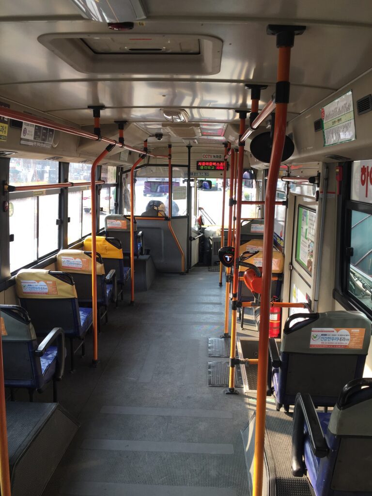
Tap a bus stop to see its routes and available arrival estimates. Some areas or routes have no live data. You can also search for cafes, pharmacies, banks, and hospitals. Save your school and dorm in Favorites, and use Road View to preview unfamiliar streets.
Language support and location privacy
The current iOS listing supports English and Korean, but some place information may remain in Korean. GPS can be less accurate among high-rise buildings. Sending a place or route through KakaoTalk is not the same as sharing your live location. Before live sharing, check participant consent, who can see your location, how long sharing lasts, and how to stop it.
Start with route comparisons, bus stops, and saved places.